Local spatial segregation
Date and country of first publication[1]
2007
New Zealand
Definition
Local spatial segregation refers to the separation of people from different backgrounds or social groups within a specific geographical area. It occurs when certain groups concentrate in specific neighborhoods or areas, resulting in limited interaction and exchange between individuals from different backgrounds. This segregation often leads to differences in socioeconomic status, access to resources, and opportunities between different areas within a city or region. Local spatial segregation can be influenced by factors such as income disparities, racial or ethnic discrimination, and housing policies.
See also
Related segregation forms
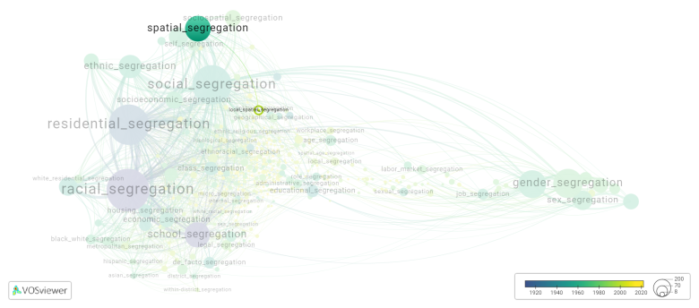
Local spatial segregation is frequently discussed in the literature with the following segregation forms:
spatial segregation, residential segregation, social segregation, local segregation

This visualization is based on the study The Multidisciplinary Landscape of Segregation Research.
For the complete network of interrelated segregation forms, please refer to:
References
Notes
- ↑ Date and country of first publication as informed by the Scopus database (December 2023).
Local spatial segregation appears in the following literature
O'sullivan D., Wong D.W.S. (2007). A surface based approach to measuring spatial segregation. Geographical Analysis, 39(2), 147-168. https://doi.org/10.1111/j.1538-4632.2007.00699.x
Folch D.C., Rey S.J. (2016). The centralization index: A measure of local spatial segregation. Papers in Regional Science, 95(3), 555-576. Blackwell Publishing Ltd.https://doi.org/10.1111/pirs.12145
